What do we mean by a neighborhood?
NeighborhoodScout® uses the official government designation for neighborhoods - the census tract.
Census tracts are small, relatively permanent subdivisions of a county that are defined by the U.S. Census Bureau in conjunction with local authorities all across the country to define real neighborhoods that are bounded to contain areas with homogeneous population characteristics (including economic status, lifestyle, and living conditions). Census tracts usually have 4,000 persons, but can range between 1,500 and 8,000 persons. This is the most fine-grained area for which detailed information is made available from the government, to protect the individual privacy of each of us. Because census tracts are based on population, they vary in size depending on the density of settlement. In urban areas, they are small, and in rural areas they can cover an entire small town or even a few small towns in very rural areas.
Since census tracts are subdivisions of a county, we did a spatial overlay of the census tracts onto city and town boundaries using a geographic information system to properly assign each census tract to its appropriate city or town. Then we named each census tract to the local colloquially recognized neighborhood name for that spot (e.g., Boston, MA (Dorchester). If there was not a name available, we named the census tract by the largest street intersection in the census tract (e.g., Worcester, MA (Lincoln St/Plantation St)
Why we don't use Zip Codes as neighborhoods
Zip codes were developed by the Postal Service for the purpose of delivering mail, but were never intended to define coherent neighborhoods. In addition, Zip Codes can have as many as 10 distinctly different census tracts contained within them. When distinct census tracts are blended together in a single Zip Code, the data reflects their average conditions and often gives a false sense of the area. The result is that potentially great matching neighborhoods can be missed, and erroneous matches can also be produced and delivered to you.
Using census tracts makes great matches possible, and helps people find the areas that are best for them and their families. Because we are committed to providing the highest possible quality and finding the neighborhoods that best meet your criteria, we use census tracts. And, as always, we show you the actual street map of the neighborhood so you know exactly where your best matching neighborhood is located.
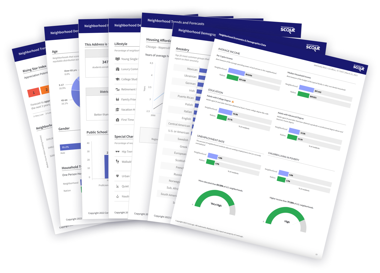
What is a Condition Alert?
A condition alert is a condition in the neighborhood that triggers an alert. NeighborhoodScout contains condition alerts to highlight conditions that are extreme, whether good or bad. This helps answer crucial questions about the state of the neighborhood being evaluated, such as:
What are the risks of violent crime here?
Is the risk of home break-ins or other property crimes increasing?
Does real estate here hold its value?
Are the trends in local vacancies or unemployment concerning?
...and dozens more.
Information at a glance that you need to know to invest, appraise or finance a property.
Valley Farms median real estate price is $135,824, which is less expensive than 84.2% of Michigan neighborhoods and 90.9% of all U.S. neighborhoods.
The average rental price in Valley Farms is currently $1,273, based on NeighborhoodScout's exclusive analysis. Rents here are currently lower in price than 84.2% of Michigan neighborhoods.
Valley Farms is a rural neighborhood (based on population density) located in Lansing, Michigan.
Valley Farms real estate is primarily made up of medium sized (three or four bedroom) to small (studio to two bedroom) single-family homes and mobile homes. Most of the residential real estate is occupied by a mixture of owners and renters. Many of the residences in the Valley Farms neighborhood are older, well-established, built between 1940 and 1969. A number of residences were also built before 1940.
Vacant apartments or homes are a major fact of life in Valley Farms. The current real estate vacancy rate here is 27.8%. This is higher than the rate of vacancies in 94.1% of all U.S. neighborhoods. In addition, most vacant housing here is vacant year round. This can sometimes be the case in neighborhoods dominated by new construction that is not yet occupied. But often neighborhoods with vacancy rates this high are places that can be plagued by a protracted vacancy problem. If you live here, you may find that a number of buildings in your neighborhood are actually empty.
Notable & Unique Neighborhood Characteristics
When you see a neighborhood for the first time, the most important thing is often the way it looks, like its homes and its setting. Some places look the same, but they only reveal their true character after living in them for a while because they contain a unique mix of occupational or cultural groups. This neighborhood is very unique in some important ways, according to NeighborhoodScout's exclusive exploration and analysis.
People
Of note is NeighborhoodScout's research finding that the Valley Farms neighborhood has some of the lowest rates of children living in poverty of any neighborhood in the United States. In a nation where approximately 1 in 4 children are living in poverty, the Valley Farms community truly stands out from the rest in this regard.
In addition, divorcees may find friendship and understanding in this neighborhood, as 19.9% of its residents are divorced. NeighborhoodScout's exclusive analysis found that this divorce rate is higher than in 95.4% of the neighborhoods in America.
Occupations
More people work in manufacturing and as laborers here in the Valley Farms neighborhood than in 99.5% of the neighborhoods in America. Despite the loss of manufacturing jobs across the nation, this neighborhood remains a place where, compared to other parts of the country, you will find many laborers and manufacturers.
Real Estate
The real estate in this neighborhood consists of more mobile homes than 97.7% of all neighborhoods in America, with 39.6% of the occupied housing here being classified as mobile homes. So if you are looking for a mobile home, or you like the look and feel of mobile home parks, this neighborhood might have the setting you desire.
Diversity
Did you know that the Valley Farms neighborhood has more Welsh and French Canadian ancestry people living in it than nearly any neighborhood in America? It's true! In fact, 11.0% of this neighborhood's residents have Welsh ancestry and 6.8% have French Canadian ancestry.
Valley Farms is also pretty special linguistically. Significantly, 2.6% of its residents five years old and above primarily speak Arabic at home. While this may seem like a small percentage, it is higher than 95.9% of the neighborhoods in America.
Migration / Stability
Do you like to be surrounded by people from all over the country or world, with different perspectives and life experiences? Or do you instead prefer to be in a neighborhood where most residents have lived there for a long time, creating a sense of cohesiveness? NeighborhoodScout's analysis reveals that this neighborhood stands out among American neighborhoods for the uniqueness of the mobility of its residents. More residents of the Valley Farms neighborhood live here today that also were living in this same neighborhood five years ago than is found in 98.6% of U.S. neighborhoods. This neighborhood is really made up of people who know each other, don't move often, and have lived here in this very neighborhood for quite a while.
The Neighbors
There are two complementary measures for understanding the income of a neighborhood's residents: the average and the extremes. While a neighborhood may be relatively wealthy overall, it is equally important to understand the rate of people - particularly children - who are living at or below the federal poverty line, which is extremely low income. Some neighborhoods with a lower average income may actually have a lower childhood poverty rate than another with a higher average income, and this helps us understand the conditions and character of a neighborhood.
The neighbors in the Valley Farms neighborhood in Lansing are lower-middle income, making it a below average income neighborhood. NeighborhoodScout's research shows that this neighborhood has an income lower than 69.2% of U.S. neighborhoods. In addition, 0.0% of the children seventeen and under living in this neighborhood are living below the federal poverty line, which is a lower rate of childhood poverty than is found in 100.0% of America's neighborhoods.
A neighborhood is far different if it is dominated by enlisted military personnel rather than people who earn their living by farming. It is also different if most of the neighbors are clerical support or managers. What is wonderful is the sheer diversity of neighborhoods, allowing you to find the type that fits your lifestyle and aspirations.
In the Valley Farms neighborhood, 54.0% of the working population is employed in manufacturing and laborer occupations. The second most important occupational group in this neighborhood is sales and service jobs, from major sales accounts, to working in fast food restaurants, with 20.6% of the residents employed. Other residents here are employed in executive, management, and professional occupations (13.2%), and 12.2% in clerical, assistant, and tech support occupations.
Languages
The languages spoken by people in this neighborhood are diverse. These are tabulated as the languages people preferentially speak when they are at home with their families. The most common language spoken in the Valley Farms neighborhood is English, spoken by 97.3% of households. Other important languages spoken here include Italian, Arabic and Polish.
Ethnicity / Ancestry
Culture is the shared learned behavior of peoples. Undeniably, different ethnicities and ancestries have different cultural traditions, and as a result, neighborhoods with concentrations of residents of one or another ethnicities or ancestries will express those cultures. It is what makes the North End in Boston so fun to visit for the Italian restaurants, bakeries, culture, and charm, and similarly, why people enjoy visiting Chinatown in San Francisco.
In the Valley Farms neighborhood in Lansing, MI, residents most commonly identify their ethnicity or ancestry as German (23.2%). There are also a number of people of English ancestry (19.9%), and residents who report Welsh roots (11.0%), and some of the residents are also of French Canadian ancestry (6.8%), along with some Swedish ancestry residents (4.6%), among others.
Getting to Work
How you get to work – car, bus, train or other means – and how much of your day it takes to do so is a large quality of life and financial issue. Especially with gasoline prices rising and expected to continue doing so, the length and means of one's commute can be a financial burden. Some neighborhoods are physically located so that many residents have to drive in their own car, others are set up so many walk to work, or can take a train, bus, or bike. The greatest number of commuters in Valley Farms neighborhood spend between 15 and 30 minutes commuting one-way to work (67.3% of working residents), which is shorter than the time spent commuting to work for most Americans.
Here most residents (75.3%) drive alone in a private automobile to get to work. In addition, quite a number also carpool with coworkers, friends, or neighbors to get to work (13.4%) . In a neighborhood like this, as in most of the nation, many residents find owning a car useful for getting to work.
SCOUT’s patented match algorithm identifies the most similar neighborhoods to a subject location, and quantifies the similarity to the subject location. This allows analysts to identify the most similar neighborhoods in a local market area for appraisals, investments, and research.
The algorithm uses 273 neighborhood conditions, identifies the dominant dimensions underlying the conditions and calculates the similarity. This captures the true culture and character of locations, economic conditions, and trends.
The closer to 100% means the locations are nearly identical. 80% is a very good, but not excellent match, and so forth.